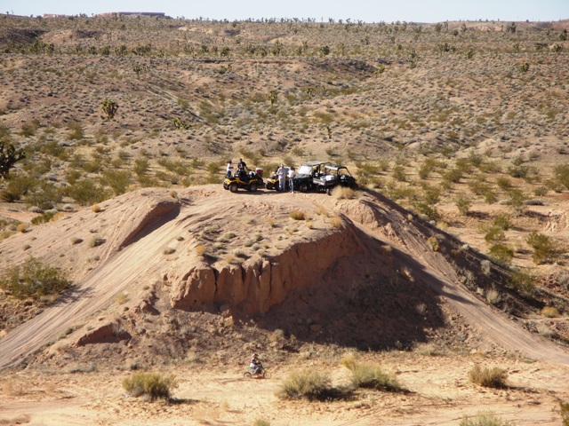
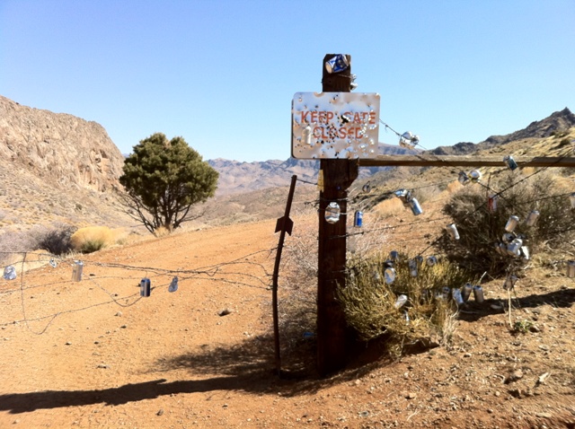
The park is located in western Arizona about 38 miles north of Wenden. It is accessed via dirt road off either U.S. Route 60 to the south or U.S. Route 93 to the east. Owing to its remoteness and lack of paved access roads, the park is often considered one of the "best kept secrets" of the state park system. Alamo Lake State Park features camping facilities and attracts wildlife enthusiasts, as the park is home to numerous wildlife species including the bald eagle. The park's remoteness and distance from cities also makes it a destination for stargazing. Alamo Lake itself is formed by the Alamo Dam that are part of the Alamo Lake State Park administered by the Arizona State Parks. The lake impounds runoff from the Bill Williams River, an intermittent tributary of the Colorado River. The dam was constructed in 1968 by the Army Corps of Engineers, primarily for flood control purposes. The dam is an earthfill dam that rises 283 feet from the streambed. While the Bill Williams River is often dry, heavy seasonal rains maintain the lake's depth. During extreme flood events the reservoir can fill rapidly; the lake has been recorded to rise 11 feet in a single night due to extreme flooding. Unusually high flows during the 1970s and 1980s increased the depth and size of the reservoir to unexpected levels, giving birth to recreational and fishing possibilities. Since then, the lake has been stocked with numerous fish species, including largemouth bass, crappie, sunfish, channel catfish, flathead catfish and tilapia. The lake is host to fishing tournaments and has been the location of at least one Arizona state fishing record. The park can be accessed by a paved road from Highway 60 at the Wenden turn-off to the north on Alamo Lake Road.
Apache Railroad Trail


20 Miles

There are 4 trailhead locations located at Railroad Cove at Big Lake, Lightning Ridge, Sheep Crossing, and Big Cienega. The best access to this trail is found at Big Lake Railroad Cove on the southwest side of the lake off Forest Road 249E located near Big Cienega on Highway 260, about 17 miles west of Eagar, AZ. The Apache Trail was once the route of an old logging railroad. That later became a tourist railroad and now it�s mainly used for mountain biking.
Aravaipa Canyon
24 Miles RT


There are two trailheads.
West: From Phoenix take US Highway 60 east to Superior, drive south on AZ 177 to Winkelman, and then south on AZ 77, 11 miles to Aravaipa Road. Turn east and drive 12 miles to the trailhead. The last 8 miles are dirt.
East: From Phoenix (190 miles/4.5 to 5 hours). Take US Highway 60 to Globe. Continue on US Highway 70 to Klondyke Road (8 miles east of Fort Thomas). Take this graded dirt road 45 miles to the East Trailhead. Several stream crossings will be encountered in the last 10 miles. High clearance vehicles are required.
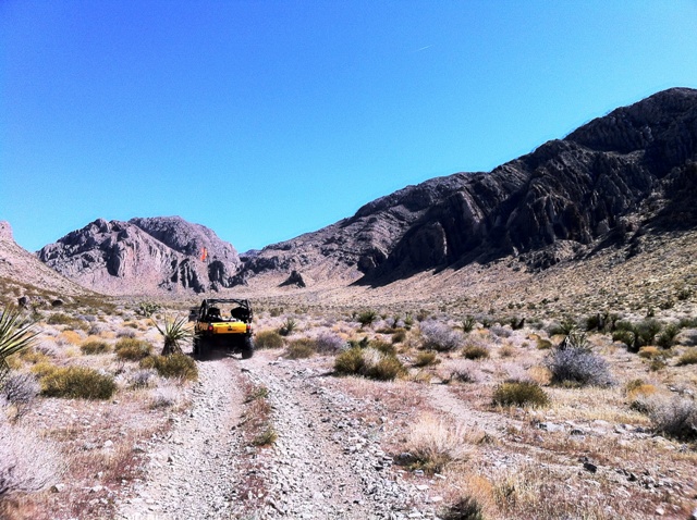
The Aravaipa Canyon Wilderness is run by the Bureau of Land Management, and they limit its use to 50 people per day. (Thirty from the west end, and twenty from the east.) Before you are permitted to enter the wilderness, you need to obtain a permit from BLM. There are no maintained trails in the wilderness. Walking through the creek for extended periods is required.
Ballentine Trail
26 Miles RT


From Mesa or Fountain Hills, go north on AZ 87 to mile marker 210.7, the trailhead is 8 miles south of Sunflower. This trail begins on the Pine Creek Loop. Take either the North or South Loop for 1.5 miles to the junction with the Ballentine Trail. From the signed junction, the Ballentine Trail begins to climb. This climb continues for about a mile along Camp Creek; then the trail levels out. About 3 miles from the trailhead, there is a large mountain to your right called "The Boulders". The trail turns to the south and follows along the east side of "The Boulders". About halfway along, down the east side of "The Boulders", you will come to an unsigned junction. The right fork is an abandoned spur trail that will lead you to an overlook. The main trail is the left fork. It climbs a small ridge before dropping into Boulder Flat. After a third of a mile, the trail climbs steeply to upper Ballentine Canyon where it again flattens out. A half mile from the top of this climb, the trail reaches an area that has been heavily overgrazed and the trail fades to nothing. There is a barbed wire fence laying on the ground to your left. Cross this fence at a 45 degree angle and continue due west until you find a coral. Go through the coral. The trail is again visible at this point. Now the trail follows along Ballentine creek. The trail continues along the creek for 2 miles and climbs to Rock Tank.
Bartlett Lake Recreation Area

From Carefree follow N. Cave Creek Road east for 6 miles. Turn right on E. Bartlett Dam Road and continue for another 13 miles. Turn left after the pay station on SR 459. Drive another 2 miles until you see the FR 42 sign.
Beaver Dam Mountains Wilderness

From St. George, Utah, take Interstate 15, traveling southwest toward Mesquite, Nevada. After about 15 miles, look for the exit to the Cedar Pockets rest area and BLM's Virgin River Campground. The dirt road, north of the Interstate is the Cedar Pockets Road, which legally passes through the wilderness area, dividing it into two units. The 19,600-acre Beaver Dam Mountains Wilderness straddles the Arizona-Utah border a few miles southwest of St. George, Utah. It is jointly managed by the BLM's Arizona Strip Field Office and Cedar City District. This wilderness is separated from the Paiute Wilderness to the south by Interstate 15. The wilderness area consists of rugged mountains and gently sloping alluvial plains. Vegetation is mainly Joshua trees and desert shrubs with scattered grasses, but several rare plant species are also found in the area. The broad alluvial fans provide important habitat for desert tortoise. Notable wildlife species include desert bighorn sheep, raptors, and the endangered woundfin minnow in the Virgin River. The area is becoming increasingly popular for primitive recreation. The eastern portion contains several miles of the Virgin River, which offers opportunities for river rafting and kayaking.
Beaver Dam Wash
From I-15 take exit-8 turn north onto CR91 and drive .6 mile north to Pioneer Rd. Turn left (west) and drive 5 miles along Pioneer Rd and park anywhere available giving you access to Beaver Dam Wash. From here there are several spur trails leading off the other locations.
Cedar Pockets Wash
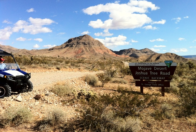


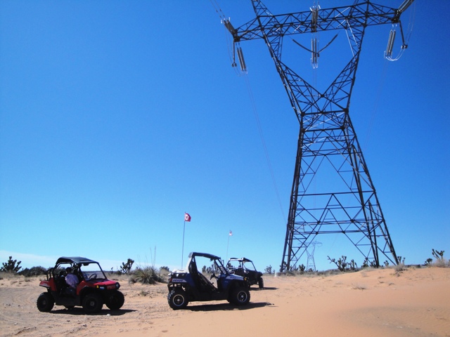
From I-15 exit-8 head north through Littlefield/Beaver Dam, AZ on HWY-91 for 9.5 miles across the border into Utah and turn east onto Woodsbury Study Area Rd. There is a sign on HWY-91 that reads Mohave Desert Joshua Tree Rd. From here you can park to unload your toys and ride. From here you can ride miles all over the Cedar Pockets Wash giving you access to the Virgin River and even St. George.
Grand Canyon Parashant National Monument


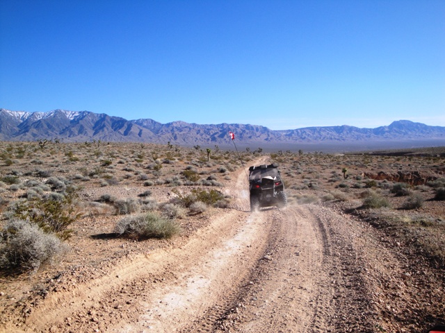
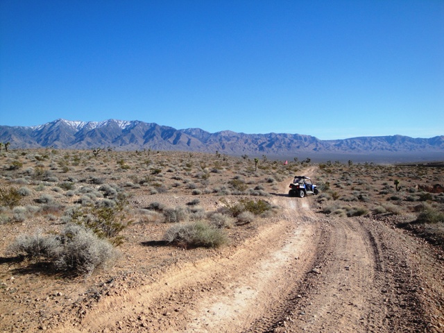
The monument is located in the northwest corner of Arizona, bordering Nevada to the west and near the southern border of Utah. There are no paved roads or visitor services within the monuments million-plus acres. Visitors should be prepared for travel on rugged dirt roads. Traveling with an appropriate high clearance vehicle equipped with 8-ply or 10-ply tires or with two full-sized spare tires is recommended. The monument has entry roads from Nevada, Utah and Arizona.
Lime Kiln Canyon


From SR 144 (Mesquite Blvd) head west and take SR 170 (Riverside Rd) south 1.41 miles and turn southeast onto Lime Kiln Canyon Rd for about 10 miles and park anywhere along this road to unload and ride. This canyon gives you access to miles upon miles of off-road riding giving you access to St. George, Lake Mead, and the Grand Canyon.
Sand Hollow Wash
From I-15 take exit-8 turn north onto CR91 and drive .09 mile north and turn west (left) onto Littlefield Interchange that runs parallel with the freeway and drive just under a mile. Park and unload just after the cattle guard next to Virgin Acres Blvd. From here you can head west on your ATV�s to Sand Hollow Wash.
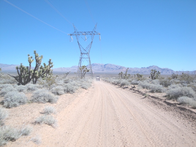
Virgin Mountains
From I-15 heading south take the second Mesquite exit and turn under the overpass and left onto Mesquite Blvd SR-144 for .70 mile. Turn right on Riverside Blvd SR-170 after 1 mile veer to the left onto a gravel road and drive for about 6 miles south where you can park and unload from here by the tower.
