|


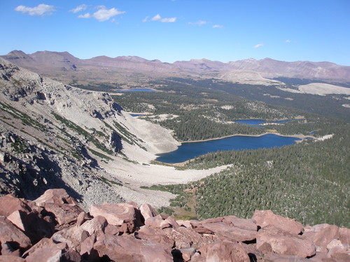 From Heber, take US 40 east 69 miles to Duchesne, and turn north onto UT 87 for 14 miles to Mountain Home. Follow Moon Lake Road north 4 miles to Yellowstone River Road. Follow Yellowstone River Road 4 miles to Hells Canyon Road. Drive 7 miles up this canyon to the trailhead. 4WD is recommended. After hiking 6 miles you will reach the Swasey Lakes, continue north another 4 miles to Spider Lake, Bluebell Lake, and Drift Reservoir. Continue north to Five Point Lake, Superior Lake, Tungsten Lake, and North Star Lake.
 From Heber, take US 40 east 99 miles to Roosevelt, and turn north on 121 for 11 miles to Neola. Follow the road east 5 miles, and turn north at the junction. Drive 7 miles to Road 117, head east for 18 miles to Pole Creek Junction. Then take Road 110 11 miles north to the trailhead. The Highline Trail begins on the south side of Chepeta Lake, and head west 2.3 miles before reaching Sharlee Lake. Turn right at both forks and Horseshoe Lake is .5 mile to the east. Reader Lake is just 1.5 mile north from the fork. The northern trail from Chepeta Lake and Moccasin Lake takes you by Papoose Lake, Wigwam Lake, and Walk-Up Lake. From Wigwam you can head west a mile to Figure 8 Lake, and another mile to Elbow Lake. The trail heading south from Chepeta Lake, leads you to Cliff Lake & Watkins Lake. You can make a loop by turn right on your way back at the fork just north of Cliff Lake to reach Workman Lake and Teds Lake. Take the left fork south of Teds Lake to return back to the trailhead.


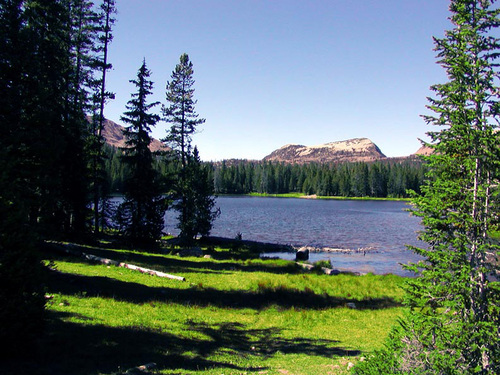 From Evanston, WY head east on I-80, take exit 34 towards Fort Bridger, WY and merge onto I-80 Business East. After 5 miles turn right onto WY-414 South, and drive 3 miles and turn right onto WY-410 East. Drive for 7 miles and continue on County Road 283. 19 miles later you will arrive at the China Meadows Campground, the parking lot is located at the south end of the campground. China Lakeis just .7 mile past China Meadows campground. There is ATV access to the roads surrounding this area along with snowmobiles during the winter season. China Meadows provides access to the East Fork Smith Fork River Trail. From the trailhead it is approximately a 10.5 mile hike to the Red Castle area. The trail begins with very gradual elevation gain as it makes its way through numerous meadows. After 3.5 miles the trail will fork and Hessie Lake is 2 miles from here. Continue southwest at the fork another 5.7 miles to Lower Red castle with Red Castle Lake East to the east. You will pass Bald Lake just east of Bald Mt. 5 miles from the trailhead. Hike south from Lower Red Castle Lake 2 miles to Red Castle Lake and another mile to Upper Red Castle Lake. Smith�s Fork Pass Lake is just southeast of East Red Castle.


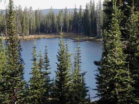

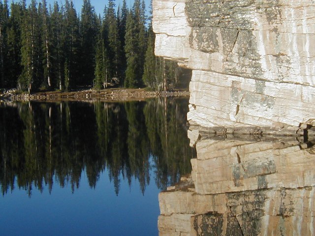
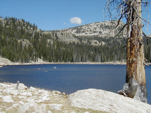


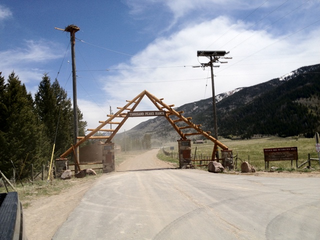

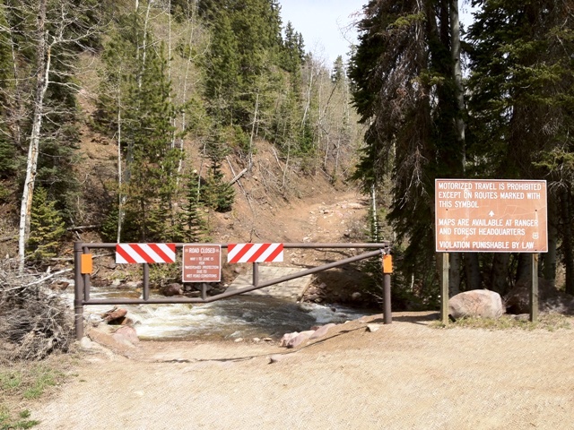

 4WD is required. From Heber take HWY 40 east 69 miles to Duchesne. Turn north onto HWY 87 14 miles to Mountain Home. Follow Moon Lake Road 4 miles north onto Yellowstone River Road, and go another 4 miles past Hells Canyon Road. From Center Park follow Yellowstone River Road southeast 3 miles to Road 119 5 miles to Jackson Park Road 120. Drive another 2 miles east to the Dry Gulch Road 122 and another 4 miles to the trailhead. Hike along an old jeep road 1.5 miles north to the trail. The trail is 6 miles before reaching Bollie Lake. Along the way you will pass Lower Lily Pad, and Upper Lily Pad Lakes with Hidden Lake a mile east. You can access Heller Lake heading northeast 2 miles from the trailhead.
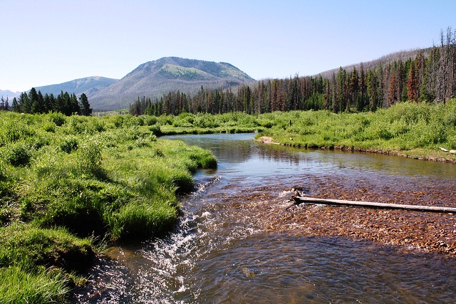
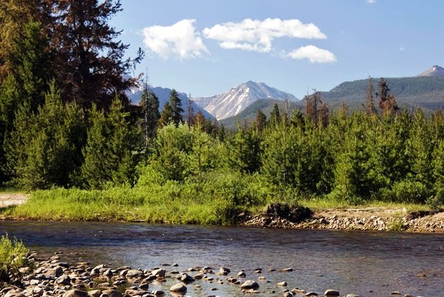


 From Evanston drive south on HWY 150 for 3 miles to the East Fork/Bear River turnoff. Drive east for 1.5 miles, and turn south onto Road 059 for 4 miles to the trailhead.
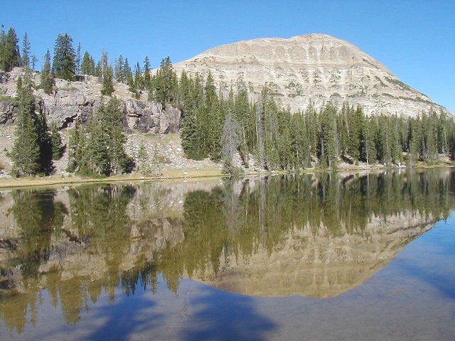
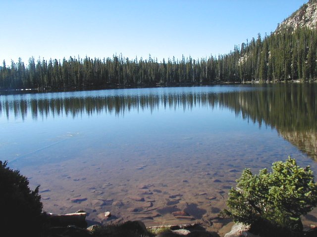
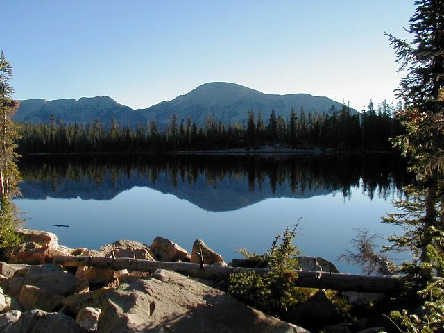
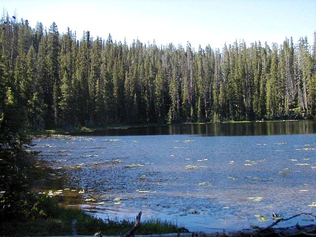 The trailhead is 30.5 mile from Kamas across the highway from Moosehorn Campground just south of Mirror Lake. This is a short day hike that will take you past several lakes. The first lake will be Fehr Lake then Shepard Lake, and the end of the trail to Hoover Lake and Maba Lake just north of it. You can also take a trail south from Shepard Lake for less than a mile to visit Marshall Lake.
 From Mountain View, take HWY 414 east then south 20 miles through Lonetree towards Hoop Lake 9 miles to a junction and turn onto Road 058 west to Henry�s Fork south 3 miles to the trailhead. The trail heads west, and then turns southwest for 5.5 miles to a fork. Hidden Lake is .2 mile north from the fork, and .1 mile southwest is Dine Lake. From the fork turn left, and go another 1.3 miles to Beaver Lake. Coffin Lake is just .75 mile southwest from here.

Back on the Pine Island Loop Trail, the route next passes between Pine Island Lake and Lily Pad Lake. Pine Island Lake is the second largest lake in the basin and the fishing is great. Unfortunately, Pine Island Lake is a favorite destination for groups with pack horses, and the best camping area on the southern end of the lake is littered with horse manure. 0.3 miles after leaving Pine Island Lake you will come to the Palisade Lake Trail that heads south to Palisade Lake and Brinton Meadows. This trail offers a shorter return loop for those not wishing to continue to Governor Dern Lake. Palisade Lake, located 0.4 mile from the main trail is a very pretty lake with some good camping sites. 1.4 miles farther north from the junction with the Palisade Lake Trail is another shortcut trail leading to Rainbow Lake.
Go back to the main trail 4 miles further north. Governor Dern is much more open than most of the other lakes. The lake is also completely surrounded with grass and has many fine campsites. Unfortunately Governor Dern Lake is rather shallow, and the fishing is not as good as at Pine Island and some of the other lakes in the area. Pinto Lake is only 0.4 miles to the north. A primitive trail leads to Margo Lake from the north side of Pinto.
When you leave Governor Dern Lake you will be walking back to Grandaddy Lake via Rainbow Lake, Lost Lake. Bear right at the two major trail junctions near Rainbow Lake and head due south on the Hades Trail towards Lost Lake. Just before reaching Lost Lake you will notice another spur trail leading to Powell Lake, about 0.6 mile away-another possible side trip. 1.2 miles after passing Lost Lake you will arrive at the Palisade Lake Trail junction. From here it is another 1.2 miles back to Betsy Lake, from where you can retrace your steps past Grandaddy lake, over Hades Pass, and back to your car at the Grandview Trailhead.
Heart Lake-Elevation-10,500 : 5.2 miles RT : Acres-5.7 : Cutthroat.


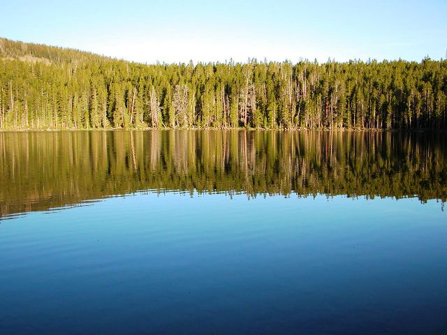

 From Mountain View, take HWY 414 east then south 20 miles through Lonetree towards Hoop Lake 9 miles to a junction and turn onto Road 058 west to Henry�s Fork south 3 miles to the trailhead. Follow the trail from Hoop Lake 1 mile to Kabell Meadow. Continue south and turn left at the fork to reach Kabell Lake. There are no great campsites located at this lake. Back at the fork continue southwest and turn left at this fork heading south another 4 miles to Island Lake. To the west is Whitewall Lake, Lower Bennion Lake, and Upper Bennion Lake To the east is Round Lake, Snow Lake, Crystal Lake, and Burnt Fork Lake.

